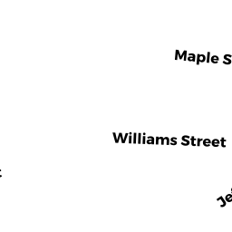
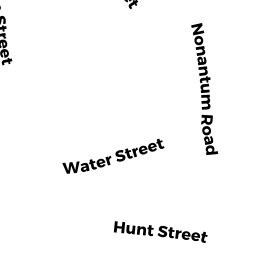
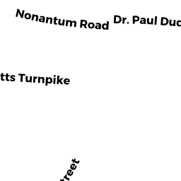
124-126 NONANTUM RD
Owner Information
YAKHKIND LEONID
19 BEECHER TER
NEWTON, MA 02459


Property Details
124-126 NONANTUM RD is classified as a Two-Family Residential (Two family).
The primary structure on this property was built in 1965. There are 3,650ft2 of built area within this property. There is 2,318ft2 of residential/living space within this property. This property is listed as having 10 rooms.
124-126 NONANTUM RD is valued at $915,200. The land is valued at $512,800 and the structures are valued at $402,400.
This property is in Zone MR2. Confirm with local Zoning Board authorities to ensure there are no overlays or other easements on this property.
The most recent deed for 124-126 NONANTUM RD is recorded at the local registrar in Book 72162, Page 61. 124-126 NONANTUM RD was last sold on Friday, January 25, 2019 for $1.
Assessment data from fiscal year 2022.
Flood Data
According to the FEMA National Flood Hazard Layer, this property does not appear to be in a flood zone. It may also be in an area not yet reviewed. Nonetheless, confirm this information prior to taking any action.
To view the flood hazards around this property, create a FEMA "Firmette" Map of the area around 124-126 NONANTUM RD.
Broadband Internet Providers
| Provider | Type | Bandwidth (mbps) | |
|---|---|---|---|
| Viasat Inc | Satellite | 100 | 3 |
| VSAT Systems, LLC. | Satellite | 2 | 1 |
| HughesNet | Satellite | 25 | 3 |
| GCI Communication Corp. | Satellite | 0 | 0 |
| RCN | Cable | 1000 | 20 |
| RCN | Cable | 500 | 20 |
| Comcast | Cable | 1000 | 35 |
| Verizon New England Inc. | Fiber | 940 | 880 |
| Verizon New England Inc. | DSL | 5 | 0 |
Broadband service provider data from December 2020.
Adjacent Properties
- 1 NONANTUM RD
YACHT CLUB owned by COMMONWEALTH OF MASSACHUSETTS - 9 RUSSELL RD NNC
Single Family Residential owned by STEINSIECK GREGORY C - 130 NONANTUM RD
Two-Family Residential owned by DASSORI F DAVIS TR - 14-16 JEFFERSON ST
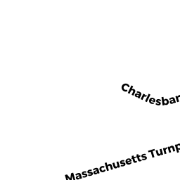
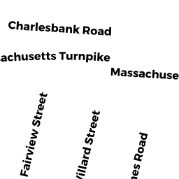
Two-Family Residential owned by PICARIELLO ANN M - 119 CHARLESBANK RD #2
Residential Condominium owned by KAZIMI ABBAS - 119 CHARLESBANK RD #1
Residential Condominium owned by MEHTA RASHMI JAY ADEVAN - 119 CHARLESBANK RD
Other, Open Space owned by 119 CHARLESBANK ROAD MASTER DEED - 15 RUSSELL RD NNC 15
Residential Condominium owned by YOSHPE MICHAEL & MARGARITA - 17 RUSSELL RD NNC 17
Residential Condominium owned by SETH PANKAJ K & NILUFER P - 15-17 RUSSELL RD NNC
Other, Open Space owned by 15-17 RUSSELL RD NNC MASTER DEED